


The Enigma of the Bolsón de Mapimí
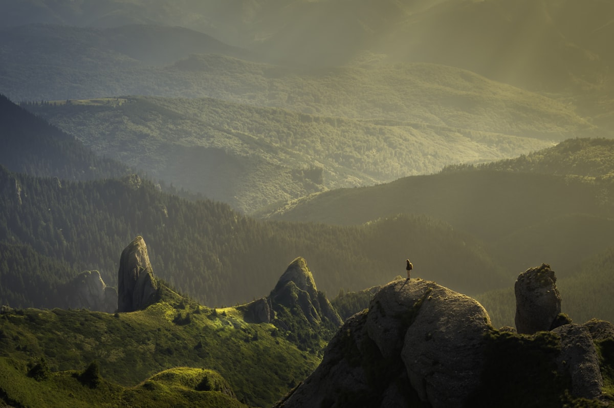
Deep in the Chihuahuan Desert, spanning the states of Durango, Chihuahua, and Coahuila, lies an area known as the Zona del Silencio. Popularized in the 1970s, this region is a magnet for those interested in the intersection of anomalous phenomena and rugged geography.
History vs Legend
| Site | Historical Fact | Local Legend |
|---|---|---|
| Zone of Silence | Site of the 1970 Athena missile crash | Magnetic anomalies cause radio silence |
| Meteorite Field | High concentration of iron meteorites | Area acts as an extraterrestrial beacon |

Fact vs Folklore
According to the Secretaría de Medio Ambiente y Recursos Naturales (SEMARNAT), the region is a designated Biosphere Reserve, valued for its unique endemic flora and fauna rather than its purported supernatural attributes. The "radio silence" is often attributed by geologists to the high iron content in the soil, which can interfere with transmissions, though widespread electromagnetic "dead zones" remain unproven by peer-reviewed studies.
Practical Details
- Admission: Free (Public land).
- Hours: Recommended daylight hours only.
- Nearest Town: Ceballos, Durango.

Safety and Respect
Visitors are advised to exercise caution. This is an extremely remote area with no cellular service. Always notify local authorities in Ceballos before entering the desert and carry at least 10 liters of water per person. Disclaimer: Respect local ranch boundaries and avoid entering private property without permission.
Essential Travel Information
- Best Time: October to March to avoid extreme summer heat.
- Duration: 2-3 days for a full expedition.
- Power Plug: Type A and B.
- Emergency: 911 (Coverage limited).

Article Methodology & Sources
This guide was compiled using geological data from the Servicio Geológico Mexicano and conservation reports from UNESCO. No scientific evidence confirms the existence of electromagnetic anomalies beyond standard mineral interference.
Editorial Methodology & Trust
Last Updated: July 2, 2026
Every Shaivio guide is created through editorial research using publicly available information from official tourism authorities, transportation providers, government resources, and other reliable references where applicable. Our editors review and update content regularly to improve accuracy and usefulness. Shaivio does not accept paid placements or sponsored rankings in editorial content. Because travel information can change, we recommend verifying critical details with the relevant official source before traveling.


